Urban Fabric Generator
A street network, a plot division, and what is within a walk of it.
Instant download after checkout. All sales final. Digital products are non-refundable.
Doesn't work as described? Email hayder [at] hayderalbeer [dot] com and I'll fix it or send a replacement. No refund needed, just a working tool.
Version 2.0 · Prepared 2026-07
Screens
-
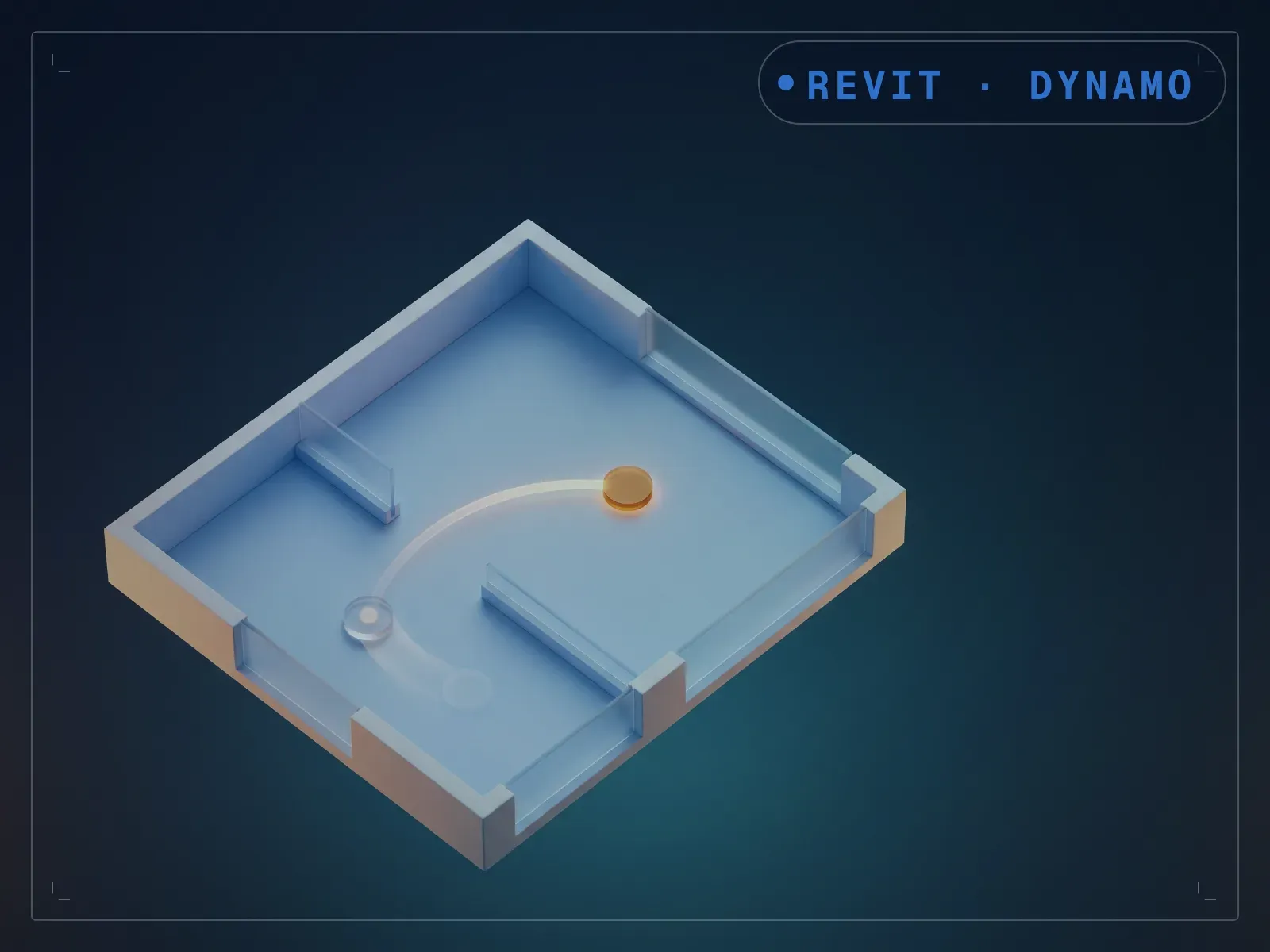
The division built out from above -
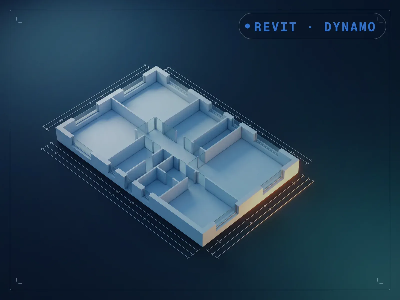
The same district at street scale -
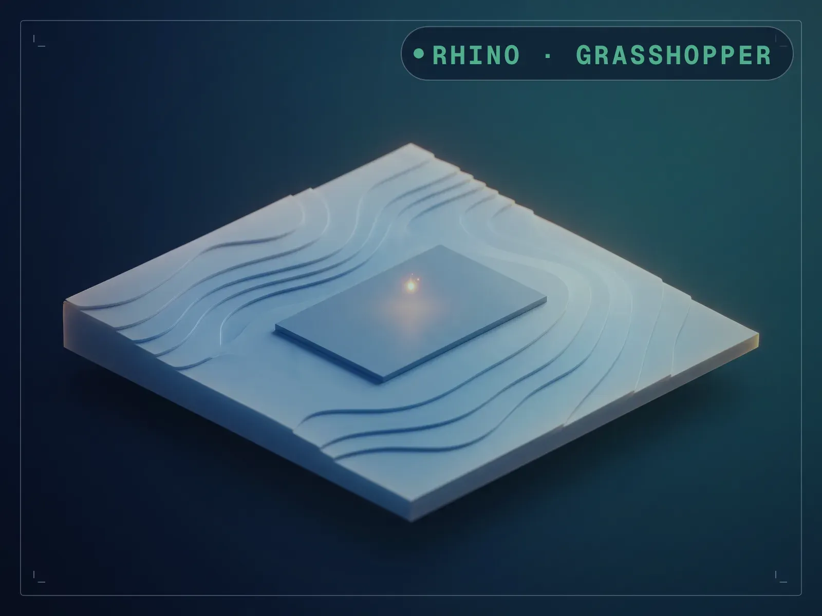
Streets blocks and plots from the network -
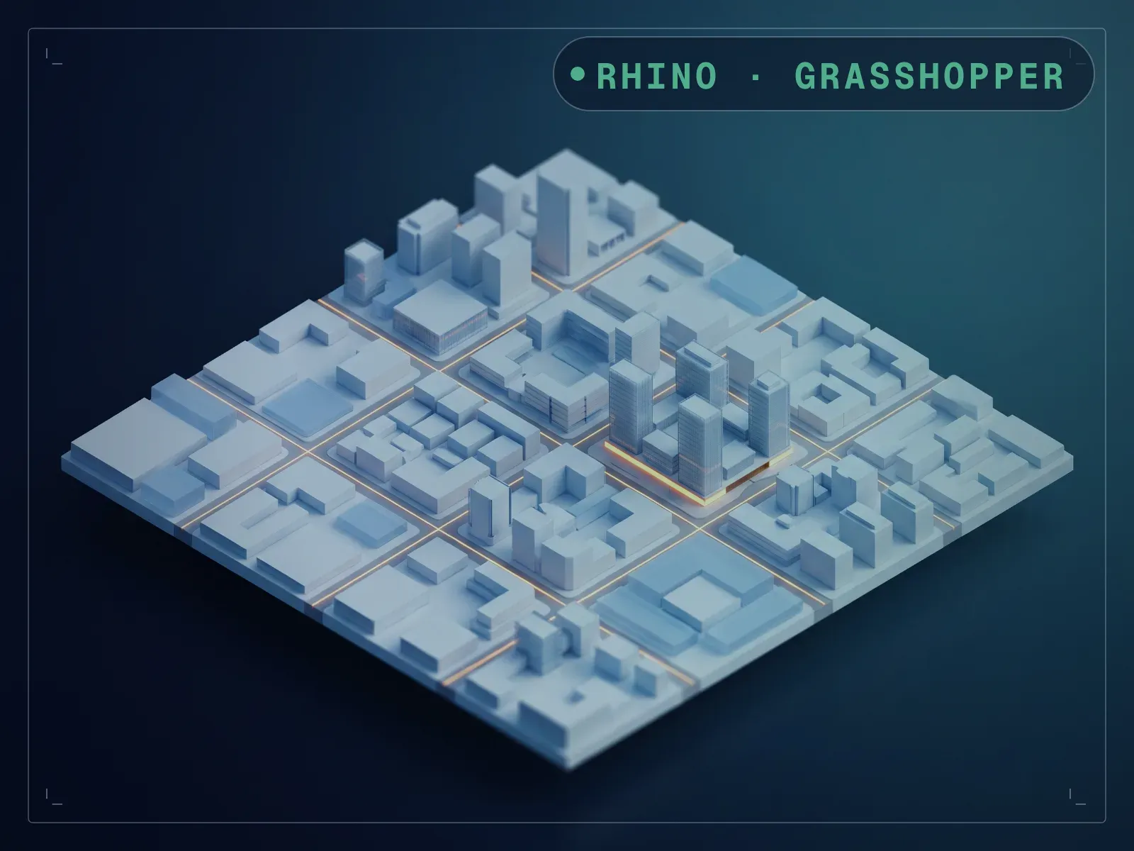
The same division seen in three dimensions -
The definition and the plugins it uses
What it does
An editable masterplan and a walking-catchment analysis over it, in one definition. It opens on a worked division — sixteen street centrelines including a diagonal avenue and two crescents, thirty blocks, eighty-six plots and two blocks left open as parks — all of it internalised, so the file draws a full district the moment you open it. Every one of those is an input you can replace with your own. From there it cleans the raw centrelines into a routable network, connects each plot to its nearest street, then walks outward from origin points you place to a distance you set, and returns the plots that fall inside that reach as coloured surfaces. At the shipped radius of 157 that is nine catchments across a 720 by 500 m site. It is the question you actually get asked on a masterplan — what is within five minutes of here — answered along the streets rather than as a circle drawn on a plan.
What is included
- Urban Fabric Generator.gh — one definition with a full worked division already internalised: 16 streets, 30 blocks, 86 plots, 3 origin points
- Walkthroughs/ — four screen recordings of the definition being driven, 20 MB in total
- README.md — parameter list, requirements and licence terms
How it works
- 01
Install the two free plugins first: UrbanXTools and Pufferfish. The definition will not solve without them.
- 02
Open the .gh. The worked division draws immediately — streets, blocks, plots and parks.
- 03
Replace the internalised curves with your own: right-click OriginalRoadsData for the streets, SitesCurves for the plots, Around for the block outlines.
- 04
Move the three origin points to the locations you care about.
- 05
Set NetworkRadius to the walk you want to test, and read the covered plots off the coloured surfaces.
Parameters
The sliders and inputs the tool exposes.
Questions about this product
What exactly is in the download?
Two files: the .gh definition and a README. This listing used to carry four separate example definitions and to claim walkthrough videos it did not contain. It is now one definition, and the price came down with it.
Which plugins do I need?
Two, both free: UrbanXTools, which does the network cleaning, the plot-to-street connection and the catchment walk, and Pufferfish, for the bounding rectangle around the origin points. Install them from Food4Rhino or the Rhino 8 Package Manager before opening the file.
Does it draw the street network for me?
No, and this is worth being clear about. It ships with a street network drawn — sixteen centrelines, a diagonal avenue, two crescents — and you edit that or reference your own. What the definition does is turn whatever lines you give it into a routable network, hang the plots off it, and measure reach along it.
Why is a catchment along the streets better than a circle?
A circle drawn at 400 m says a plot is close. Walking there may cross a rail line, a river or a block with no through route. This measures along the network you drew, so a plot only counts as covered if there is a way to walk to it inside the radius.
Can I change how the district is divided?
That is the intended use. Every input is a curve list you can swap: streets, blocks and plots each have their own parameter. The division that ships is a worked example to start from, not a fixed layout.